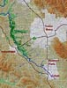
Maps of the Laguna de Santa Rosa Watershed
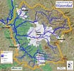
The Laguna is the heart of a 250-square-mile watershed that helps sustain the entire Santa Rosa Valley ecosystem.
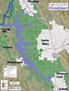
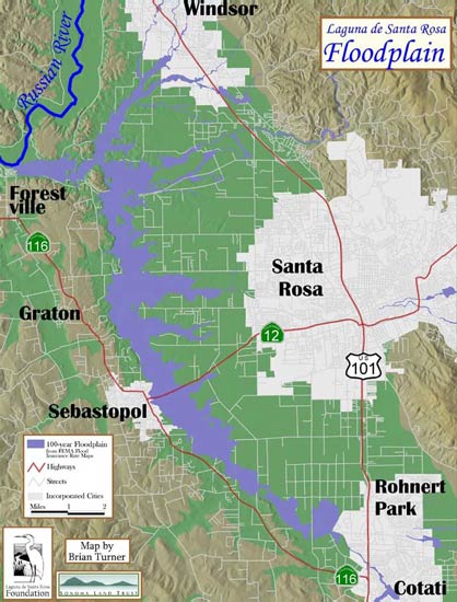
The Laguna itself is the center of a significant floodplain. During peak storms the flooding near the Laguna reduces potentially disastrous flooding downstream on the Russian River.
The Laguna is home to significant woodlands. This map shows the distribution of wooded areas in the Laguna.

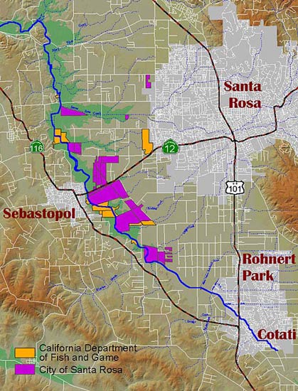
A portion of the Laguna is under government ownership. This map shows the holdings of the City of Santa Rosa and Department of Fish and Wildlife in the Laguna.
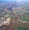
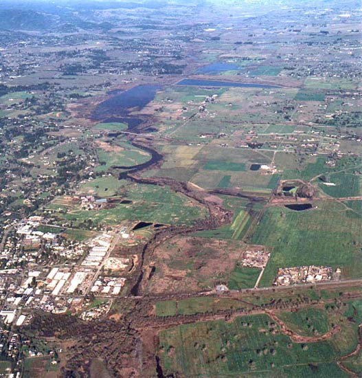
Aerial views of the Laguna are vital to tracking changes in the health of the water system. This is an aerial view looking north.
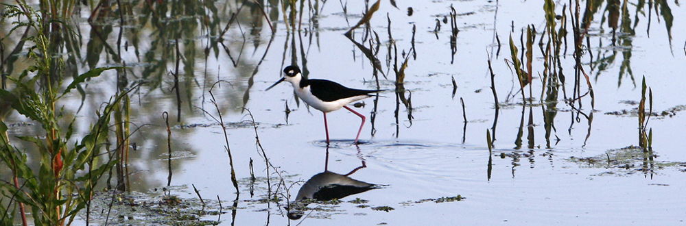
. Banner Image by Lucy Aaron